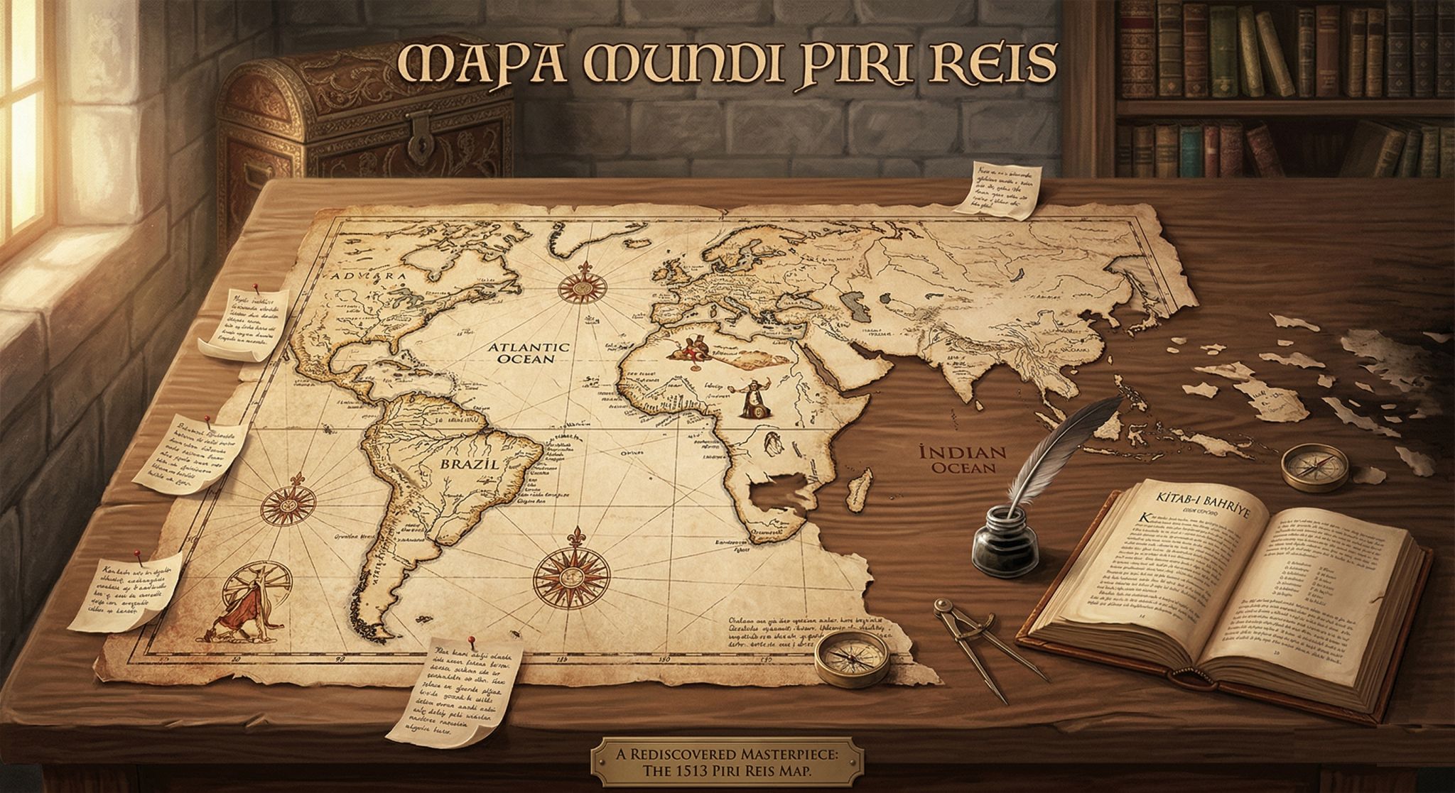
The map, one of the rarest pieces currently on display at Topkapı, has an interesting story.
The map was found by chance in the archives by Halil Ethem Eldem, the museum director of the time, five years after Topkapı Palace was converted into a museum.
Piri Reis finished drawing the map in Gallipoli in 1513 and presented it to the sultan of the day, Yavuz Sultan Selim, adding this note:
“A map of this kind has never before been made in any land.”
Considering the limited technology of the era, it was a gift far ahead of its time.
Dozens of documentaries have been made and articles written about this map; some have even claimed it was drawn by extraterrestrials.
But he told the truth himself, in his own work titled “Kitab-ı Bahriye”:
Piri Reis studied maps obtained from ships captured in the Mediterranean, from 20 different sources in Arabic, Portuguese and Latin. He combined these works, each drawn in its own scale and projection, and turned them into a single coherent output. In his margin notes, he wrote down one by one the sources he used and which map he trusted whenever they contradicted each other.
Those margin notes contain information that is remarkable for its time:
For instance, Piri Reis’s uncle Kemal Reis captures a Spanish ship off the coast of Spain. One of the men aboard is a sailor who had taken part in Christopher Columbus’s voyages to America three times.
Piri Reis learns about Columbus’s original map of America and his route from this captive; Columbus’s maps are lost today, and the only trace we have from that period is the annotations on the 1513 map.
He noted that on some islands the people went about naked, used gold and pearls as ornaments and traded them for beads. In this respect, the work is a striking Ottoman record of how value was perceived in the early colonial era.
The piece we have is only one-third of the original work. The sections covering Asia and the Indian Ocean are still lost today, and the map’s true size is estimated to have been about 130 x 180 cm.
A quick word on the first maps as well:
The world’s first known map was painted on a wall at Çatalhöyük in 6200 BC. This city plan, about 3 meters long, is still on display at the Museum of Anatolian Civilizations in Ankara.
The first world map, on the other hand, was drawn by the Babylonians in the 6th century BC. Drawn on a clay tablet, this work is held at the British Museum in London.
The Strait of Hormuz, so much in the news today, sadly became Piri Reis’s grave.
While serving as captain of the Indian / Basra fleet, Piri Reis besieged Hormuz, but because of Portuguese resistance, supply problems and regional balances, he lifted the siege, left the fleet there and departed himself.
This decision reached the capital in the form of accusations of dereliction of duty and self-interest, and by decree of Suleiman the Magnificent he was executed in Cairo at the age of 88.
How much the map was used in Yavuz’s reign and how it ended up in the archives remain a great mystery, yet Piri Reis’s sentence still holds true:
“A map of this kind has never before been made in any land.”
Sources
- TDV İslâm Ansiklopedisi, “Pîrî Reis”. Open source
- TDV İslâm Ansiklopedisi, “Kitâb-ı Bahriyye”. Open source
- Wikipedia, “Piri Reis map”. Open source
- Wikisource, “Piri Reis’ Map” (harita kenar notlarının İngilizce çevirisi). Open source
- Wikipedia, “Piri Reis”. Open source
- Wikipedia, “Topkapı Palace”. Open source
- Yetkin Report (Gülşah Çeliker), “Piri Reis Kolomb haritasını nasıl aldı?”, 18 Eylül 2020. Open source
- Arkeonews, “The Oldest Map of the World Found in Çatalhöyük”. Open source
- British Museum, “Map of the World” (BM 92687). Open source